Quick answer (so you don’t scroll)
The best-documented underwater remains off modern Dwarka (Okhamandal, Gujarat) sit in shallow water mostly ~3-6 meters deep, with a few reported features down to about 10-12 meters. These are widely interpreted as parts of an ancient harbor zone rather than a whole stone city.
A separate, often-confused discovery is in the Gulf of Khambhat (Cambay), ~20 km offshore, where instrument surveys mapped features lying ~20-40 meters deep a different area and still debated in the research community.
Why everyone’s asking
The legend of Krishna’s city going underwater meets modern marine archaeology aka instant HOT topic. But “Dwarka underwater” actually covers two different zones:
- Offshore Dwarka & Bet (Beyt) Dwarka (near today’s temple city)
- Divers and archaeologists from CSIR-NIO recorded stone blocks and anchors in ~3-6 m water, with work also reported near ~10-12 m. These finds match an ancient harbor/anchorage footprint more than a gridded urban street plan.
- Gulf of Khambhat (Cambay) (20 km off the coast)
- NIOT instrument surveys reported geometric seabed features at ~20-40 m depth; interpretations remain contested. Think “possible palaeo-landscape with structures” vs “settlement” debates.
What exactly has been found off Dwarka?
- Depth range: Intertidal to ~6 m most commonly; work also extended and reported around 10-12 m at a few spots.
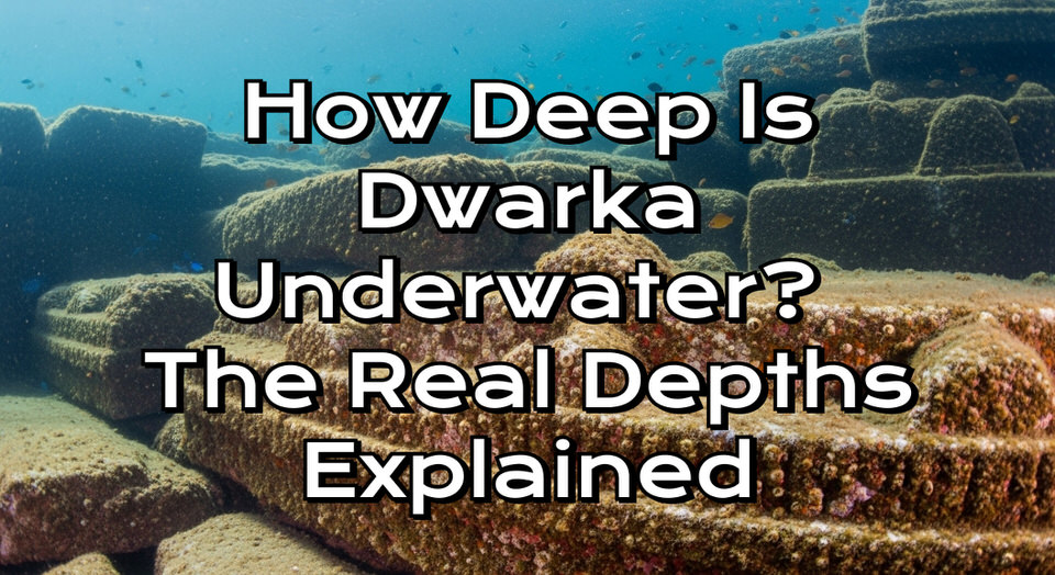
- What it looks like: Dressed stone blocks, semicircular/rectangular features, and many stone anchors classic harbor archaeology signals.
- Takeaway: The weight of field data suggests an ancient port/harbor complex, not a neatly preserved stone metropolis.
So… how deep is “Dwarka underwater,” really?
- Dwarka (Okhamandal coast): ~3-6 m typical, occasionally ~10-12 m. Easy dive territory, but visibility varies.
- Gulf of Khambhat (different site): ~20-40 m survey depths, debated significance. Don’t conflate it with the near-shore Dwarka finds.
Can you dive there?
Yes, recreational operators around Shivrajpur/Dwarka run intro dives typically in ~5-10 m. Conditions change with season and turbidity don’t expect postcard-blue every day.
Advanced context (for the archaeology nerds)
- Sea-level history matters. Holocene sea-level fluctuations, strong tides, and sediment-rich waters shape preservation and what we can see today along this coast.
- Evidence style: Off Dwarka you get anchors, jetty-like blocks, and scattered architectural pieces exactly what a busy historic/medieval port would leave.
- Khambhat debate: NIOT’s instrument data at 20-40 m sparked claims of very early occupation; several archaeologists urge caution pending more ground-truthed, in-situ excavations.
FAQs
How deep is Dwarka underwater?
The documented remains off today’s Dwarka are mostly ~3-6 m, with select spots ~10-12 m.
Is the 20-40 m deep “underwater city” the same Dwarka?
No. That depth band belongs to the Gulf of Khambhat surveys, a different offshore area that remains under debate.
What did archaeologists actually find near Dwarka?
Stone blocks and many stone anchors, consistent with an ancient harbor/anchorage rather than intact city streets.
Can tourists scuba-dive to see anything?
Entry-level dives in ~5-10 m are offered seasonally; visibility can be limited.